
Drone Services
We're passionate about what we do. We go one step further by tailoring our services to suit your knowledge and expectations.
Mapping and Surveying:
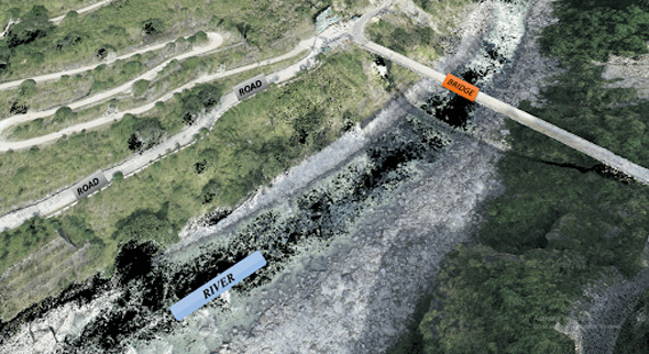
Our trained pilots will help generate maps geo-referenced orthomosaic, and near real-time project updates. This will enable us to take measurements from aerial photographs and convert images of landmasses into maps, 3D models, or drawings – customized to your specific requirements
Commercial Real Estate Photography
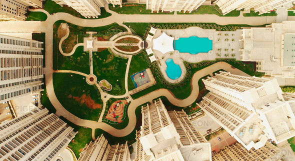
We offer a multitude of aerial angles and views to help you and your clients project updates, report progress and develop insights by presenting compelling imagery to clients and investors.
Ariel Surveillance
The aerial drone observation repeatedly requires great camera-related flexibility. For many reasons, which vary according to the application area, it is frequently impossible when flying with a drone to get close enough to the subject to observe. Day and night UAV-RPAS surveillance missions also require great discretion. Using a thermal camera for night vision and a powerful zoom are the key elements for successful drone observation operations. Images can be stored on-board, on the drone, for later analysis, and are re-transmitted to the ground in real-time and without latency.

Drone Inspections
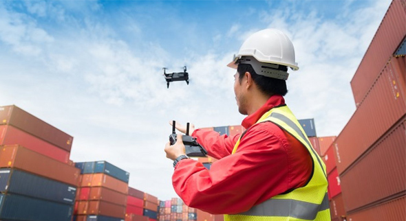
These are custom services we offer on request. Our skills include inspections for Tower, Energy installations Infrastructure - dams, bridges, etc.
Bloggers / Vloggers Collaboration
Weather you are youtuber or a passionate traveller, we are happy to partner with you in planning and executing the perfect reel / video of your next adventure.
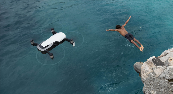
Adventure Sports
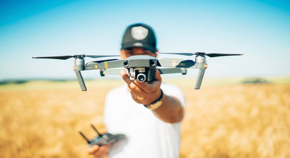
Adventure sports and drones are match-made in heaven! Adding drone footage to your fishing expedition, skiing maneuvers, paragliding, cricket matches, etc. will help achieve amazing cinematic visuals that were previously only possible with helicopters.

