Qualified Drone Pilots
Well-trained professional drone pilots, can scale to meet your needs - anywhere, anytime.
Drone Base Insights
Make better-informed, real-time decisions about your most critical assets at scale.
Faster Data Acquisition
High-end UAV surveying and inspection allow us to procure data 10x faster.
Project Gallery
Professional Drone Filming Drone Photography & Video Footage's
Some Of Our Recent Projects

MBRR Republic Day
Mumbai

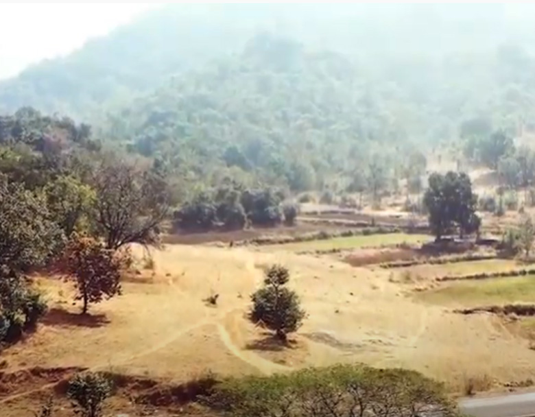
Rain Forest
Mumbai

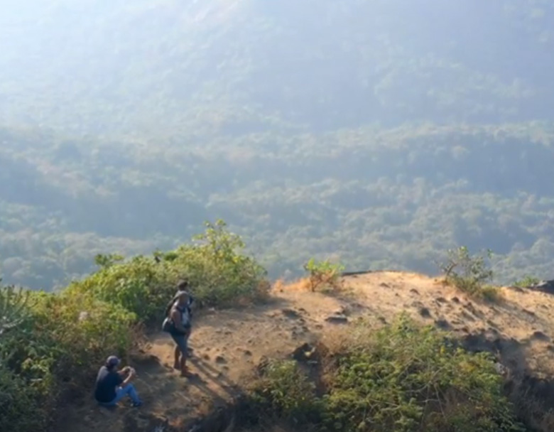
Mountain View
Malshej
Our Services
Land Mapping / Survey
Land Mapping / Survey with a drone offers enormous potential to GIS professionals.
Ariel
Surveillance
The aerial drone observation repeatedly requires great camera-related flexibility.
Industrial Projects
Sell Industrial Projects faster and attract more clients by showcasing your commercial
Real Estate Projects
Our professional drone services provide stunning aerial footage including images,video.


